French Riviera by Emilie
Walking the Siagne: a riverside stroll in Mandelieu or a hike to the Tuves bridge
For a change of scenery during your stay, I suggest following the Siagne. In Mandelieu, the path runs beside gardens and moored boats, with a picnic at Robinson to make a morning of it. In Montauroux, reaching the Tuves bridge takes more effort: a woodland trail descends to the river. Choose according to who is coming with you, and how much walking you feel like doing.
At Robinson, finish your walk with a picnic
With children, I recommend starting at Parc Robinson. From the car park, head to the riverbank and follow the water for as long as everyone is happy to walk. When little legs begin to tire, retrace your steps: the playground and picnic tables will be waiting back at the park.
Bring lunch if you would like to stay outdoors. You can divide the morning between the walk and the playground, without having to find somewhere to eat just as the children get hungry. This is also a useful starting point for a short riverside outing with relatives who prefer not to walk far.
Rowing boats, swans and other boats give you plenty to watch along the way. Here, the Siagne runs through a town shaped by the water. For another walk, keep Parc des Oliviers in mind. It, too, sits beside the river, and its Mediterranean trees are a good reason to stop.
The Tuves bridge, for a day when you feel like a proper walk
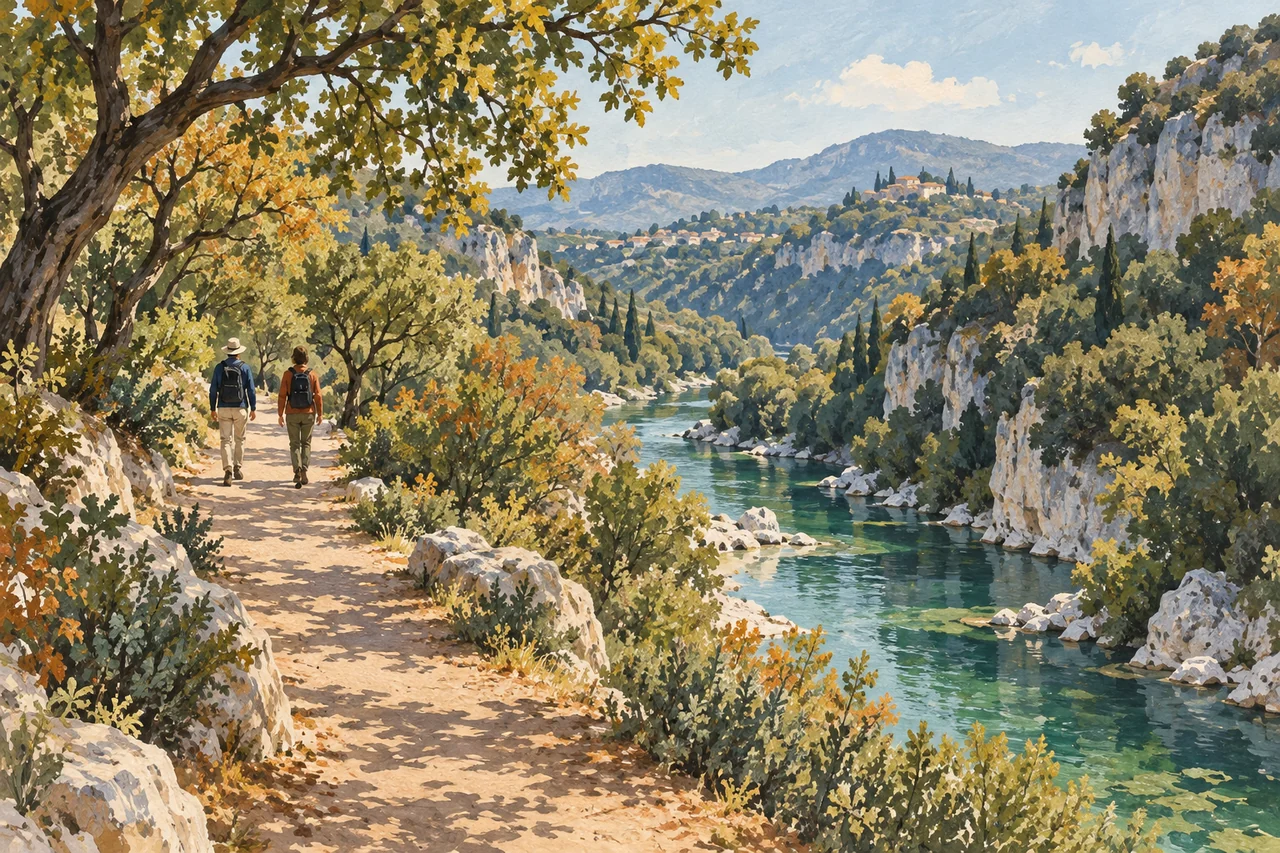
Further up the valley, the setting changes. You leave the landscaped banks behind and descend through trees towards a stone bridge. Built in 1802, the Pont des Tuves links Montauroux with Saint-Cézaire-sur-Siagne. The river here forms the boundary between the Var and Alpes-Maritimes departments.
I suggest this outing for friends who enjoy walking and are comfortable on steep ground. The bridge is at the bottom of the descent; you will need energy for the climb back. Bring suitable walking shoes and water, and allow a half-day without a tight appointment afterwards.
The upper Siagne valley still bears traces of the people who once lived here: terraced slopes, old mills and the walls of houses. Look for these stones among the vegetation as you walk. They recall a time when people came here to work, long before they came for a day out.
From Montauroux, start at the Stade du Défens
Set your navigation to Stade du Défens, chemin du Stade, and park nearby. Driving down towards the bridge is prohibited. Continue on foot along the track to the water tank, then take the path on the right.
Allow about 2 hours 30 minutes of walking for the tourist office route, and longer for stops. Download its directions before setting out: on the way back, the “Parking Stade” turn after the small cabins is less easy to spot. Both the descent and the return climb are steep and stony.
After rain or a storm, I recommend leaving this hike for another day. The ground beside the Siagne becomes slippery; it is a better day for a museum or a walk around town.
The old oaks of the Défens, if you would rather stay in the woods
You can also visit the Défens without going down to the bridge. At the water tank, the left-hand path leads to the century-old oaks. This detour is 750 metres there and back, in addition to the walk from the sports ground. It is a way to spend the outing among the trees, then head home for lunch.
Before setting out for the Défens, check with the tourist office that the woodland is open and whether any fire restrictions apply. In stormy weather or during a weather alert, postpone the riverside walk too.
If you are starting in Saint-Cézaire, do not simply follow this route in reverse: as of 26 September 2026, the section of the GR 510 between waymarkers 4 and 5, towards the Saint-Saturnin chapel, is reported closed. The Montauroux approach described here is separate. Use the practical links below to check access before your outing.
Sources and practical information
- Mandelieu town council — Siagne riverbanks and access
- Mandelieu Tourism — Siagne riverbanks, gardens and activities
- Mandelieu Tourism — Robinson and Oliviers parks
- Pays de Fayence — Tuves bridge walk from Montauroux
- Pays de Fayence — bridge history and vehicle restrictions
- Pays de Fayence — Défens woodland and seasonal restrictions
- Alpes-Maritimes department — closed walking trails
- Montauroux town council — local information